Use of Geoinformatics in Livestock Disease Management
Keywords:
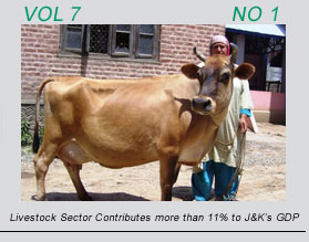
Geo informatics, livestock disease, managementAbstract
The epidemiology of animal diseases could be understood in a better way by using advantages of mapping locations of farms and other facilities for livestock. In case of a disease outbreak it could make the management of the situation efficient and easier, and also provide a tool to evaluate different strategies in preventing the spread of infectious diseases. The present paper aims to describe and give an overview of the possibilities and potential uses of a Geographical Information System (GIS) in the field of surveillance and monitoring of animal diseases. Prime areas in which GIS could be incorporated are recording and reporting information, epidemic emergency, cluster analysis, disease spread modelling, and planning control strategies. Different sources of data; geographical data, farm locations and disease information are used in the development of the GIS.